Sale on canvas prints! Use code ABCXYZ at checkout for a special discount!

Previous Image

|

Next Image
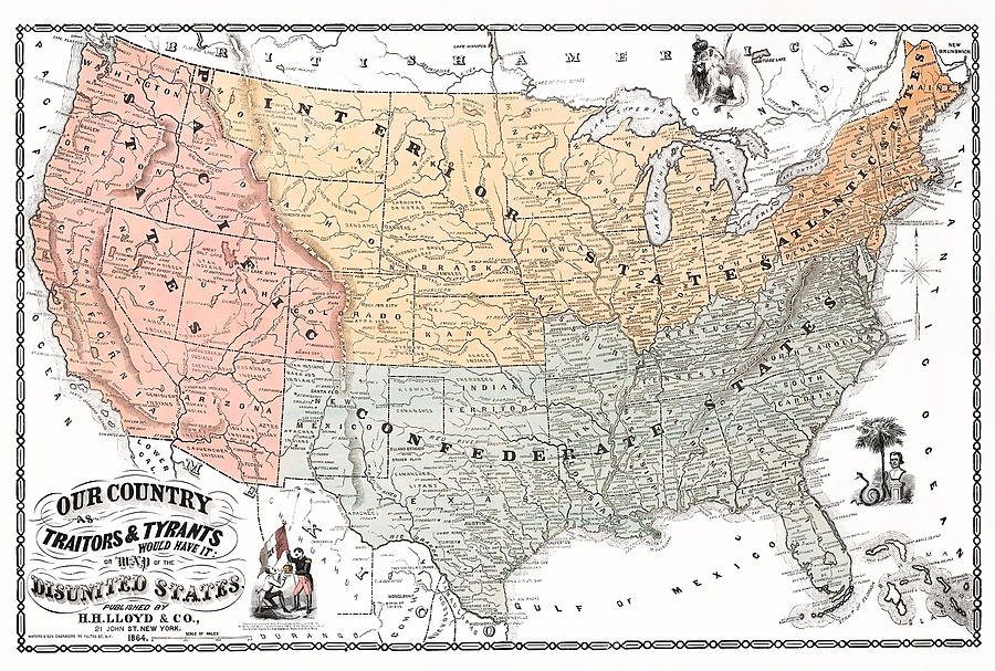
Traitors and Tyrants Map - Map Of The Disunited States - Civil War 1864 Drawing by War Is Hell Store

Similar Images

Chicago World's Fair - Columbian Exposition Map - 1893 by War Is Hell Store
The City Of New Orleans - Bird's-eye View - 1885 by War Is Hell Store
World's Columbian Exposition Bird's Eye View - Chicago 1893 by War Is Hell Store
Boys Come Along You're Wanted by War Is Hell Store
Pan American Exposition - Buffalo World's Fair - 1901 by War Is Hell Store
Britons Your Country Needs You #1 by War Is Hell Store
Geocentric Aspect of the Universe Diagram by War Is Hell Store
Vintage New York City - Bird's Eye View - 1874 by War Is Hell Store
Pittsburgh Pennsylvania - Bird's Eye View - 1902 by War Is Hell Store
City of Boston - Bird's Eye View - 1873 by War Is Hell Store
Niagara Falls New York Bird's-Eye View - 1882 by War Is Hell Store
Perspective Map Of Newport News Virginia - Circa 1892 by War Is Hell Store
Map Showing The Comparative Area Of The Northern And Southern States - 1861 by War Is Hell Store
The City of Brooklyn Birds-Eye View - 1879 by War Is Hell Store
Twentieth Century Transportation - Trains - Cars - Planes - ES Yates Circa 1910 by War Is Hell Store

Comments

There are no comments for Traitors and Tyrants Map - Map Of The Disunited States - Civil War 1864.   Click here to post the first comment.

Recently Viewed

Traitors and Tyrants Map - Map Of The Disunited States - Civil War 1864 by War Is Hell Store
Previous Image Next Image